History of the Louisiana Remote Sensing & GIS Workshop
The first Louisiana Remote Sensing & GIS Workshop was held in May of 1985 at the Holiday Inn in Slidell, Louisiana. It was jointly sponsored by the U.S. Fish & Wildlife Service and the Louisiana Department of Natural Resources. The meeting was titled “Habitat Mapping for Coastal Management in Louisiana,” and was attended by approximately 30 people by invitation only. The primary purpose was to share information about current coastal mapping activities and future needs in the state, which resulted in planning of a coastal aerial photography overflight. The group naturally celebrated success with a crawfish boil the final night from the back of Jimmy Johnston’s vintage Chevy pickup truck sporting a 1962 green cab on a 1963 blue bed. The meetings were by invitation only until 1987 when the Workshop was renamed the “Workshop on Remote Sensing and GIS for Coastal Management in Louisiana.”
Just as the technology has advanced, so too has the Workshop. Attendance grew from these humble beginnings to an event occasionally exceeding 200 participants in venues in New Orleans, Baton Rouge, and Lafayette. The focus expanded well beyond coastal mapping to virtually all aspects of GIS and Remote Sensing throughout the state of Louisiana. As a result, to be more inclusive, the Workshop was renamed again in 1995 to the “Louisiana Remote Sensing & GIS Workshop.” It now includes numerous federal, state and local agencies, universities, private corporations, professional societies, vendor exhibits, training, keynote speakers, a vendor social, an annual award ceremony, and of course, the quintessential celebratory crawfish boil remains the highlight of the event.
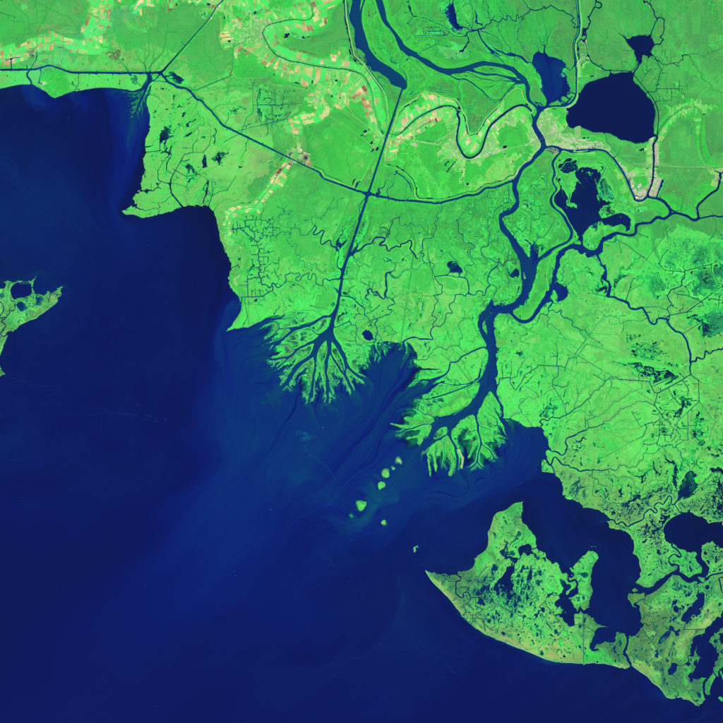
For over three decades, the Louisiana Remote Sensing and GIS Workshop has been the State’s premier event for professionals addressing a broad range of real-world applications through advanced geospatial technologies using today’s cutting-edge software, access to pioneering data acquisition platforms, and robust scientific spatial analysis methodologies.
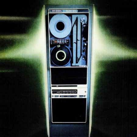
In the early days of GIS and Remote Sensing in Louisiana (mid 1970’), our state-of-the-art technology consisted of a Data General AOS/VS mainframe, Calcomp green CRT terminals, digitizing tables, and 9-track tapes. We used software sponsored primarily by the Federal government.
These ground-breaking systems included:
LUDA: Land Use Data Analysis – USGS
GIRAS: Geographic Information Retrieval & Analysis System – USGS
MOSS: Map Overlay & Statistical System – BLM & USFWS
AMS: Analytical Mapping System for data entry – BLM (This digitizing system was so difficult to use that when a project was finished and it cleared all the errors, it displayed an applicable message: “And now….it’s Miller Time).
GRASS: Geographic Resources Analysis Support System – USACOE
ELAS: Earth Resources Laboratory Applications Software (remote sensing and image analysis software) – NASA Stennis Space Center
WAMS: Wetlands Analytical Mapping System – USFSW for National Wetlands Inventory
These systems were preceded by computer mapping software (the precursor to GIS) developed in the late 1960’s and early 70’s at the Harvard University Laboratory for Computer Graphics and Spatial Analysis.
SYMAP: a general purpose line printer mapping program;
CALFORM: a conformal mapping program for use with a pen plotter;
SYMVU: a pen plotter surface-perspective mapping program;
POLYVRT: a cartographic database manipulation program;
ODYSSEY: a vector base geographic data management, analysis, and display system.
GRID: a raster based map algebra overlay system
The workshop had a hiatus from 2020-2023. In 2024, the workshop began a permanent affiliation with the Louisiana Chapter of URISA (LA URISA). The workshop will continue to rotate between New Orleans, Baton Rouge, and Lafayette locations each year.